External data products
PML encourages scientists to develop data that are Findable, Accessible, Interoperable, and Reusable (FAIR), working in alignment with and in collaboration with domain-specific communities as part of a federated data architecture approach. To support this, key data community resources are signposted below, alongside a filter scheme designed to help users easily identify and engage with relevant data communities.
In situ
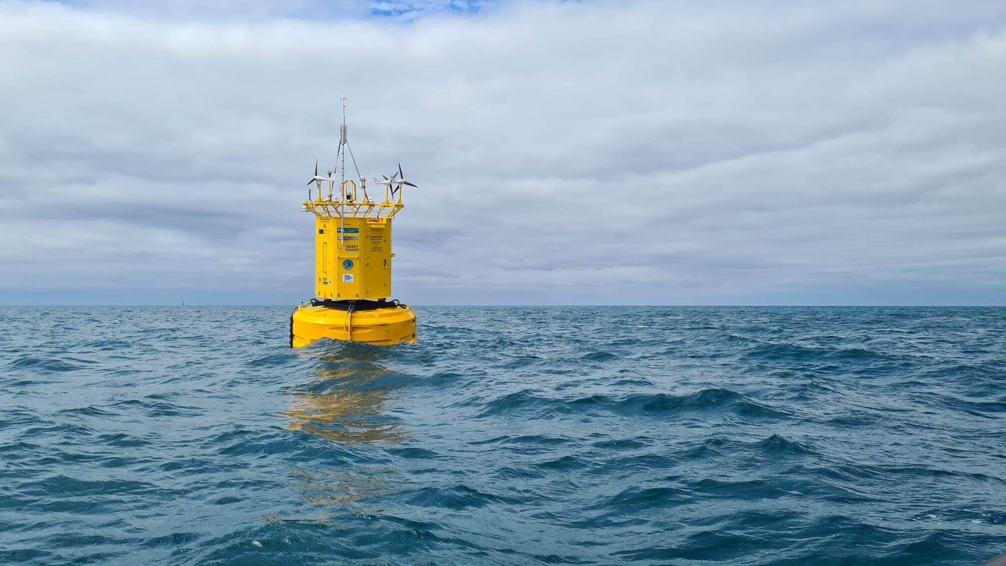
Western Channel Observatory
Oceanographic time-series and biodiversity data from stations L4 (weekly) and E1 (fortnightly) in the Western English Channel.
Model
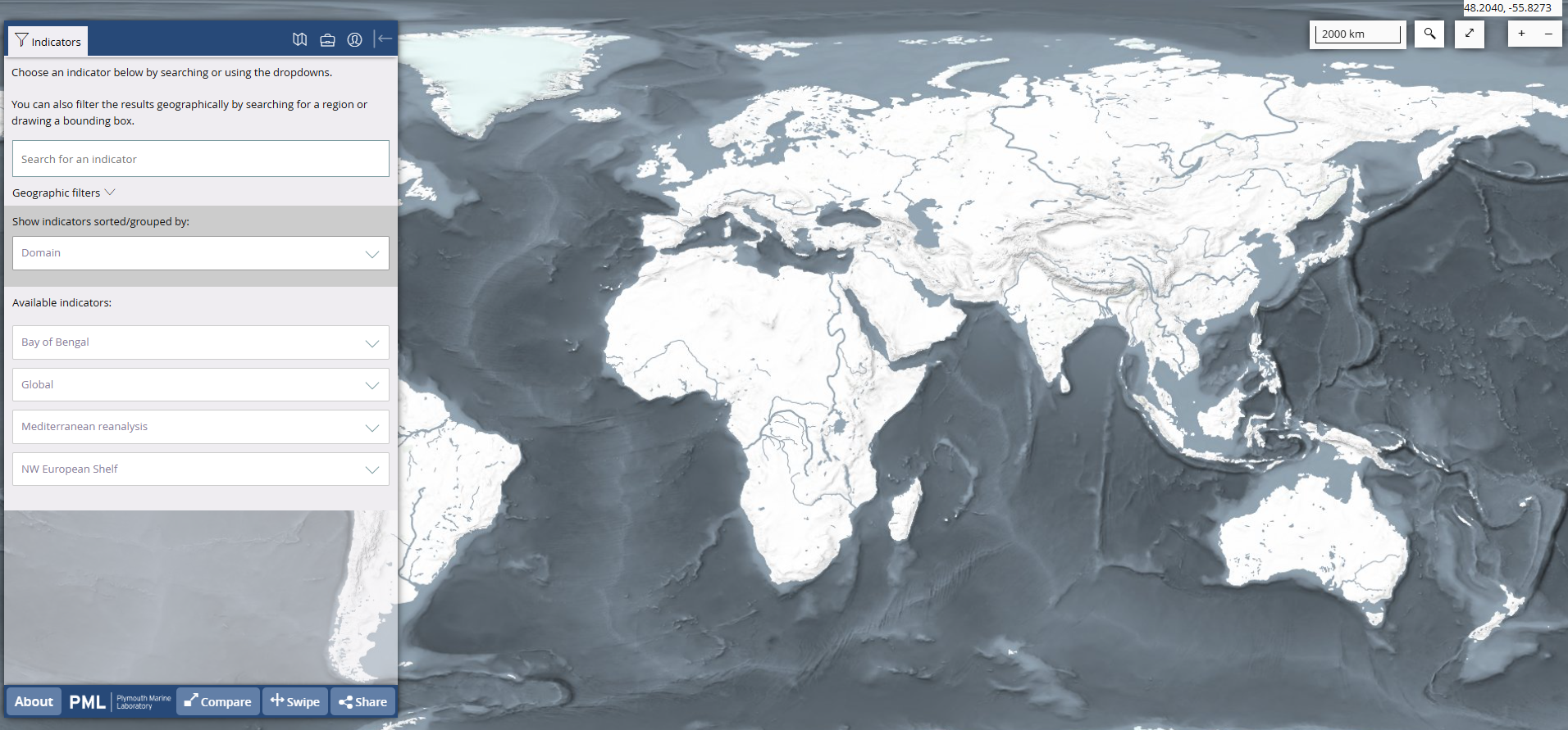
PML model data portal
Summary view of key model data holdings: NW European Shelf, Bay of Bengal, Mediterranean, and global simulations.
In situ
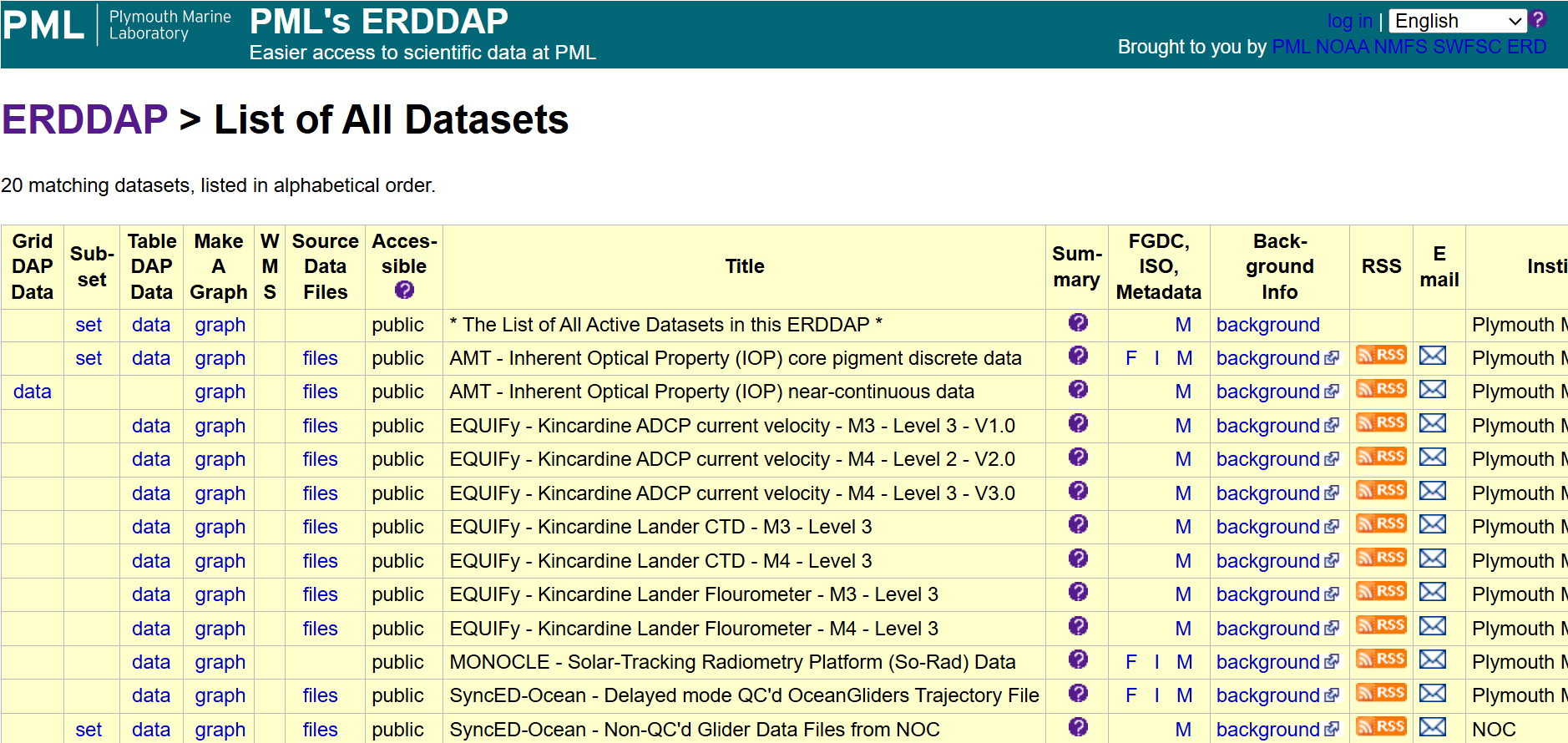
PML ERDDAP
PML’s ERDDAP is a data server that gives you a simple, consistent way to download subsets of scientific datasets in common file formats and make graphs and maps.
Earth obs.
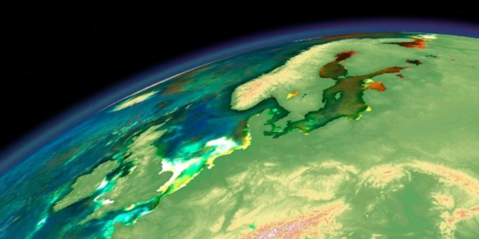
NEODAAS – AI/ML Earth observation service
AI-assisted EO processing: chlorophyll, SST, hyperspectral airborne data, and access to a £1M GPU cluster via PML-hosted facility.
Model
Copernicus Marine NW European Shelf model
Reanalysis and operational models covering the NE Atlantic–NW European shelf region, part of a Met Office-led consortium.
Earth obs.
Copernicus Marine Earth Observation
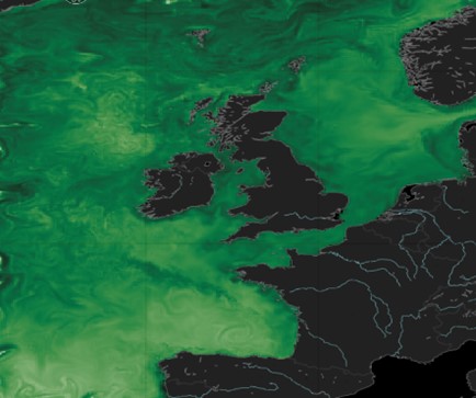
Chlorophyll concentration, phytoplankton functional types, and ocean monitoring indicators for the Atlantic and Arctic in near real-time.

Earth obs.
ESA Lakes CCI & Copernicus Global Land
PML co-leads the Lakes CCI project, contributing inland water data to the Copernicus Global Land Service.
In situ
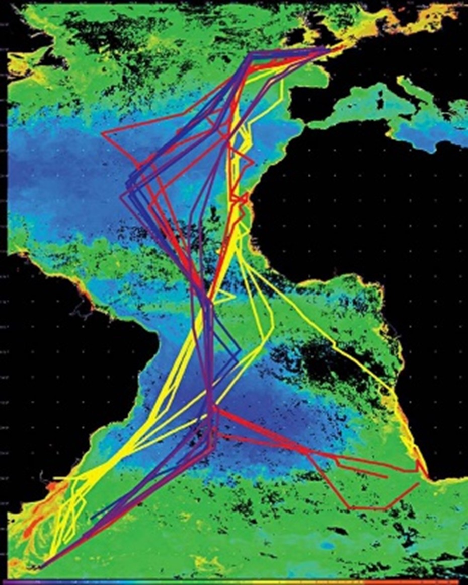
Atlantic Meridional Transect (AMT)
Biological, chemical and physical oceanographic data from annual voyages between the UK and the South Atlantic.

Model
Plymouth Sound operational model (MyCoast)
Detailed local forecasts of water and atmospheric conditions, pollution risk, and drifting object tracking for the Plymouth region.
Climate
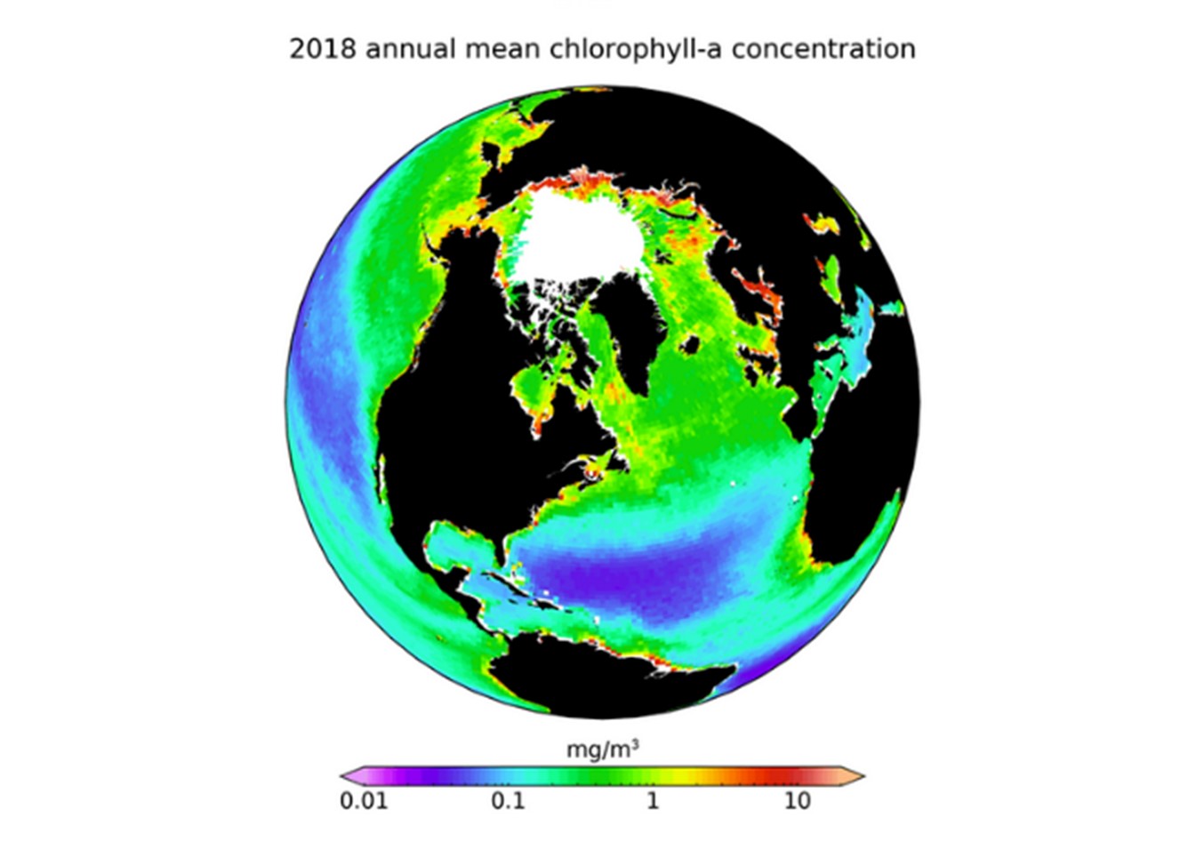
Copernicus C3S Ocean Colour & climate projections
Climate-quality multi-mission chlorophyll at 4 km, plus downscaled sea projections under RCP4.5 and RCP8.5 using NEMO-ERSEM.
In situ
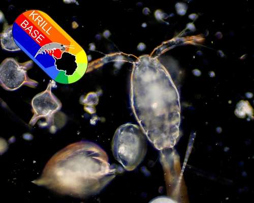
KRILLBASE – Southern Ocean zooplankton
Open-access database of Antarctic krill and salp distributions and population structure from net sampling, 1926–2016.
Earth obs.
ESA Ocean Colour CCI
PML leads ESA’s Ocean Colour climate change initiative, contributing to Lakes, Sea State, and Sea Level themes.
In situ
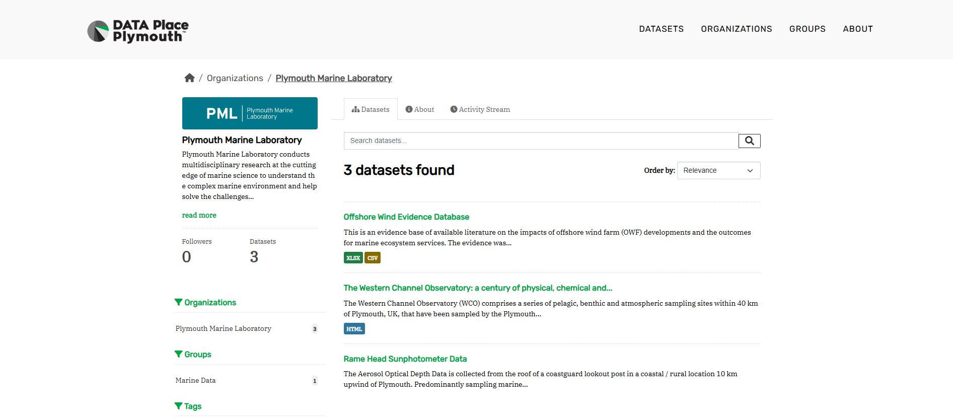
Data Place Plymouth
A CKAN portal providing access to datasets in the Plymouth area, including PML-contributed environmental and socio-economic data.
Archive
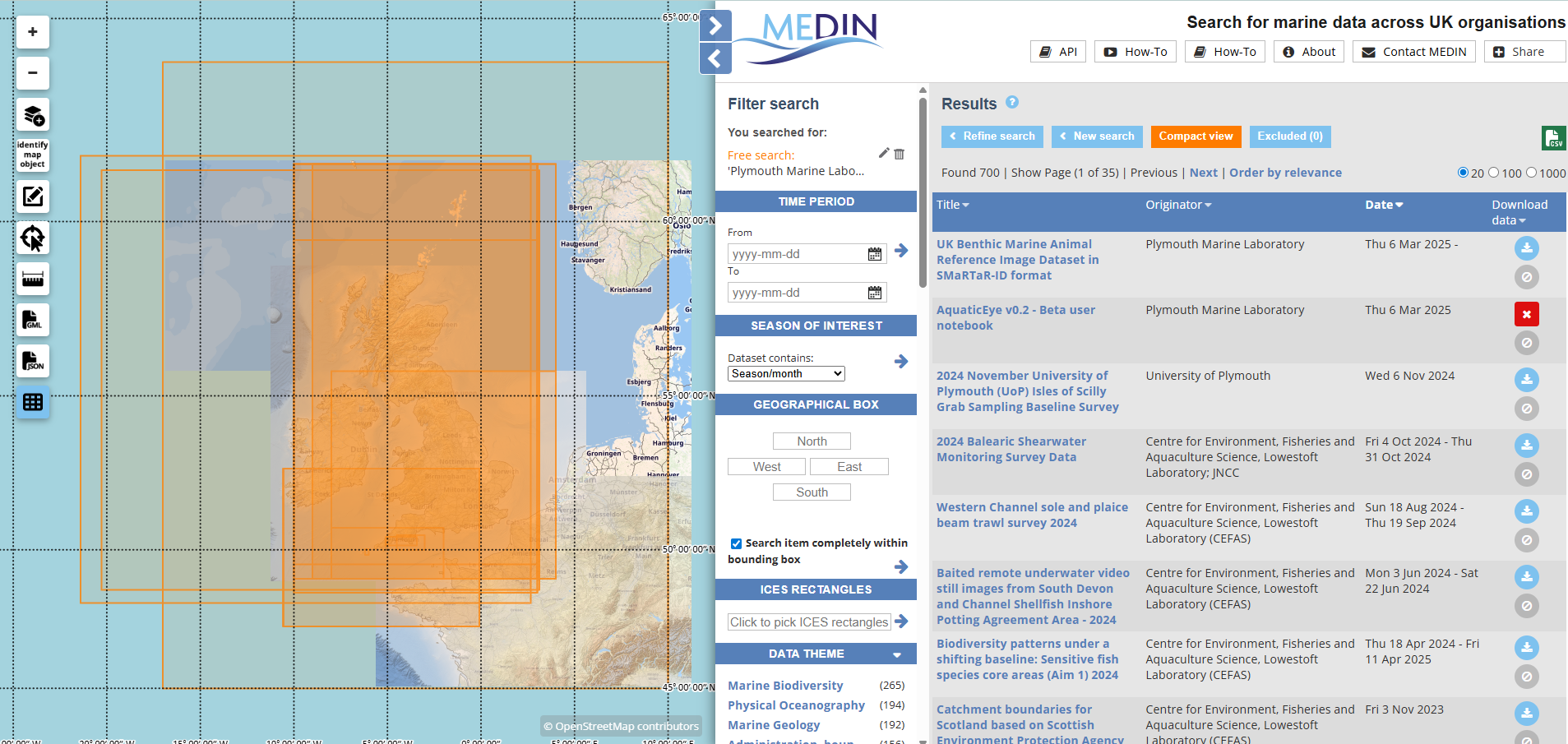
MEDIN
The MEDIN portal contains information about marine datasets from UK organisations, including a dedicated view of PML data holdings.
Archive
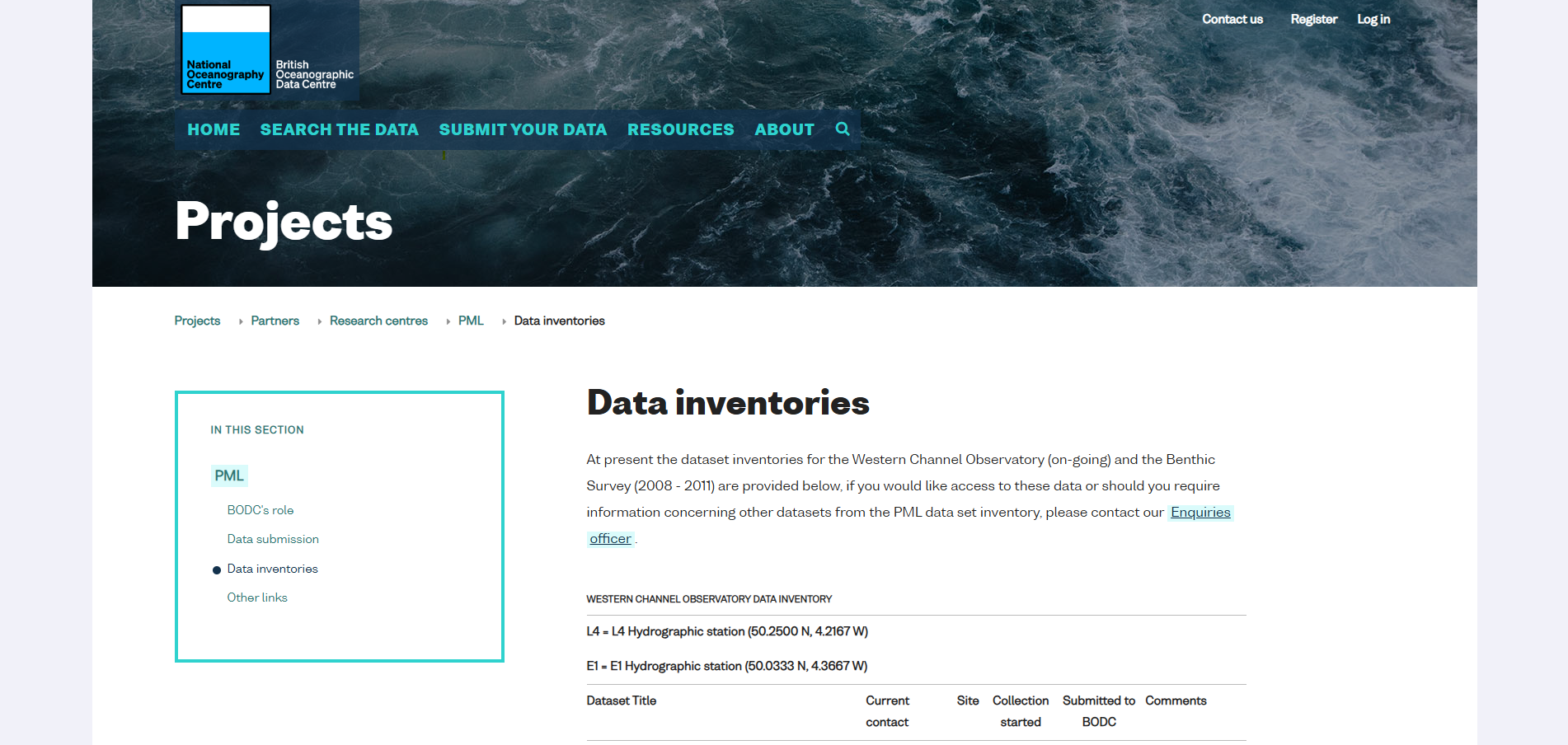
BODC – British Oceanographic Data Centre
The UK national oceanographic data centre; MEDIN-accredited archive for marine environmental data and information.
Archive
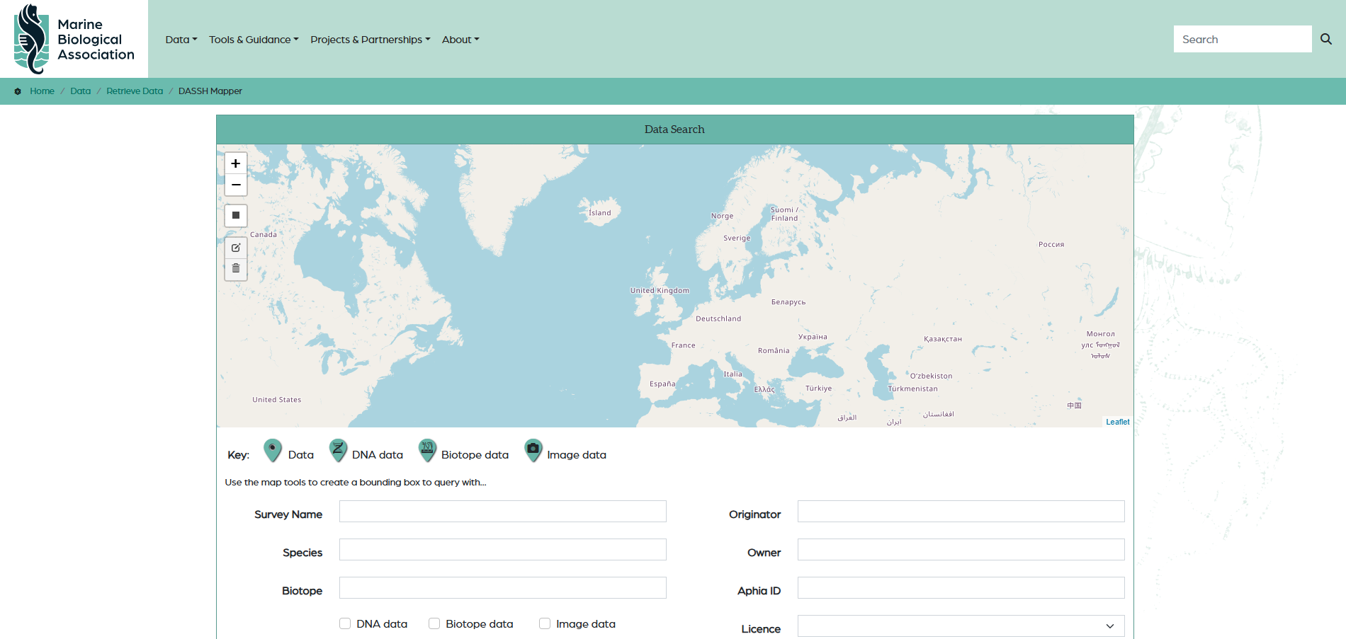
DASSH – Marine Biological Association
DASSH (Core Trust Seal accredited) operates as the UK Data Archive Centre for marine species and habitats data.
Explore all PML science
Our data products are one part of a broader programme of marine science.
