Skip to content

Project

WADIM: Water-Associated infectious Diseases in India: digital Management tools

WADIM

Active project

Project start: September 2022  |  Project end: January 2027
Funder: Wellcome Trust
Principal Investigator: Dr Shubha Sathyendranath
Other participants from PML: Dr Gemma Kulk (co-lead), Dr Dhritiraj Sengupta (researcher), Elin Meek (project manager)
WADIM aims to develop a multi-layered digital tool to map sanitation conditions and occurrence of disease and changes therein, especially in the event of flooding due to monsoon rainfall or natural disasters.


Aim


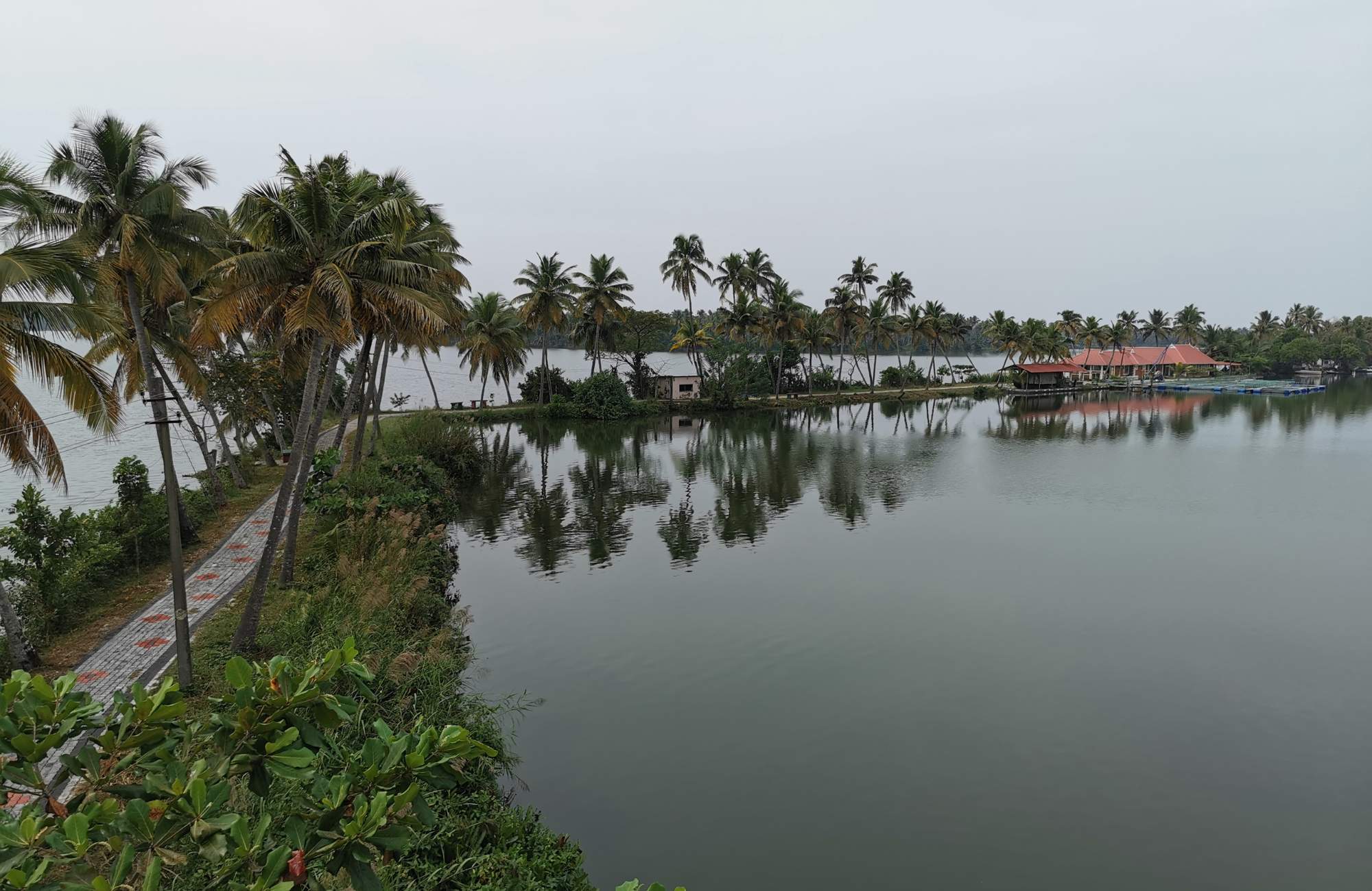
The required data will be collected through a smartphone application in which stakeholders and citizens in local communities of two locations in India – a primary site in the coastal southwest and an inland location in the Punjab – can:
  1. report sanitation and disease data without depending on intermediaries, and
  2. in return, access information on risk from waterborne diseases and threats from natural disasters
The digital resources available to the participating citizen scientists would include information from remote sensing data on flooding, water quality and environmental Vibrio risk. The app will deliver essential disease data that are needed to improve climate-sensitive infectious disease modelling and to develop resilience in the community through improved knowledge transfer.

The data from the sanitation and disease app will be used to:
  1. develop dynamic, open-source maps on sanitation and disease conditions, and any changes to those conditions in the event of heavy rains and floods, that the authorities could use to plan and implement mitigation and remedial measures, in addition to the general public themselves being made aware of the threats from diseases and how to avoid infections;

  2. facilitate action on the ground to reduce the spread of waterborne diseases, by working with local health workers;

  3. carry out research to improve our understanding of the ecology of human pathogens, the drivers of waterborne diseases and how they are affected by the aquatic environment and climate change; and

  4. ​investigate the most effective short- and long-term interventions to reduce the disease burden. The primary targets of the work are cholera and ADD, but the digital tool will be developed in such a way as to be readily transferrable to other threats that are emerging under climate change, such as Leptospirosis (Lau et al. 2010) or food-poisoning and wound infections caused by Vibrio bacteria (Baker-Austin et al. 2013).


Deliverables


The key deliverables of the project are:
Sanitation and disease app  
A smartphone application will be developed that will allow citizen scientists to enter information on sanitary conditions and occurrence and symptoms of waterborne diseases. The collected data will be used to provide dynamic, up-to-date and georeferenced sanitation and diseases maps, directly accessible to stakeholders and end-users. In the publicly available data stream, information of geolocations will be downgraded (made coarser) to protect the privacy of participants.
Satellite-based maps  
Multi-Spectral Imager (MSI) and Synthetic Aperture Radiation (SAR) remote sensing observations will be used to provide maps of flooding, water quality indicators (such as chlorophyll-a and total suspended matter), and environmental Vibrio risk to stakeholders and end-users through the sanitation and disease app. Maps will be updated as and when satellite data become available, typically every 5-10 days.
ADD risk maps from a satellite-based empirical model  
An empirical model based on optical water classes obtained from MSI and ocean-colour (OC) remote sensing observations will be used to forecast the risk of ADD. Maps of ADD risk will be provided on a monthly basis to stakeholders and end-users through the smartphone application.
In situ database of pathogens, environment and sanitation  
A field campaign is planned to collect samples of environmental and pathogenic bacteria, such as Vibrio cholerae and Escherichia coli, and associated environmental variables and reservoirs, to validate and improve the satellite-based (risk) maps and to study the role of the aquatic ecosystem in spreading waterborne diseases. Sanitation surveys will be carried out to validate the citizen-science-based risk maps. Data previously collected by the project proponents will be included in the database.
Training and stakeholder engagement programme  
A training programme will be developed around the use of the sanitation and disease app. The importance of the aquatic environment in the spreading of waterborne diseases and the use of digital tools to reduce disease risk will be addressed. The stakeholder engagement programme is focused on promoting and embedding the app in existing public health structures, with involvement of stakeholders to meet the needs for improving public health practices.
Impact plan and report  
An impact plan will be prepared at the start of the project in collaboration with stakeholders, with the aim to monitor the impact of the sanitation and disease app and other project deliverables throughout the project. A final impact report will be prepared at the end of the project.


Funded By

WellcomeTrust
 

In collaboration with

 
NERCI Plymouth University Logo Postgraduate_Institute_of_Medical_Education_and_Research_Logo.png
National_Institute_of_Oceanography_logo.jpeg ice-logo.png sangar.png