Story
Mapping floods and pathways for water-borne diseases with satellites
10 December 2023
A newly published study of existing satellite algorithms shows that multi-spectral satellite images can be used to generate flood maps in the Lake Vembanad (India) region, to complement the commonly used synthetic-aperture radar (SAR)-based techniques and enhance coverage frequency from 12 to 5 days.
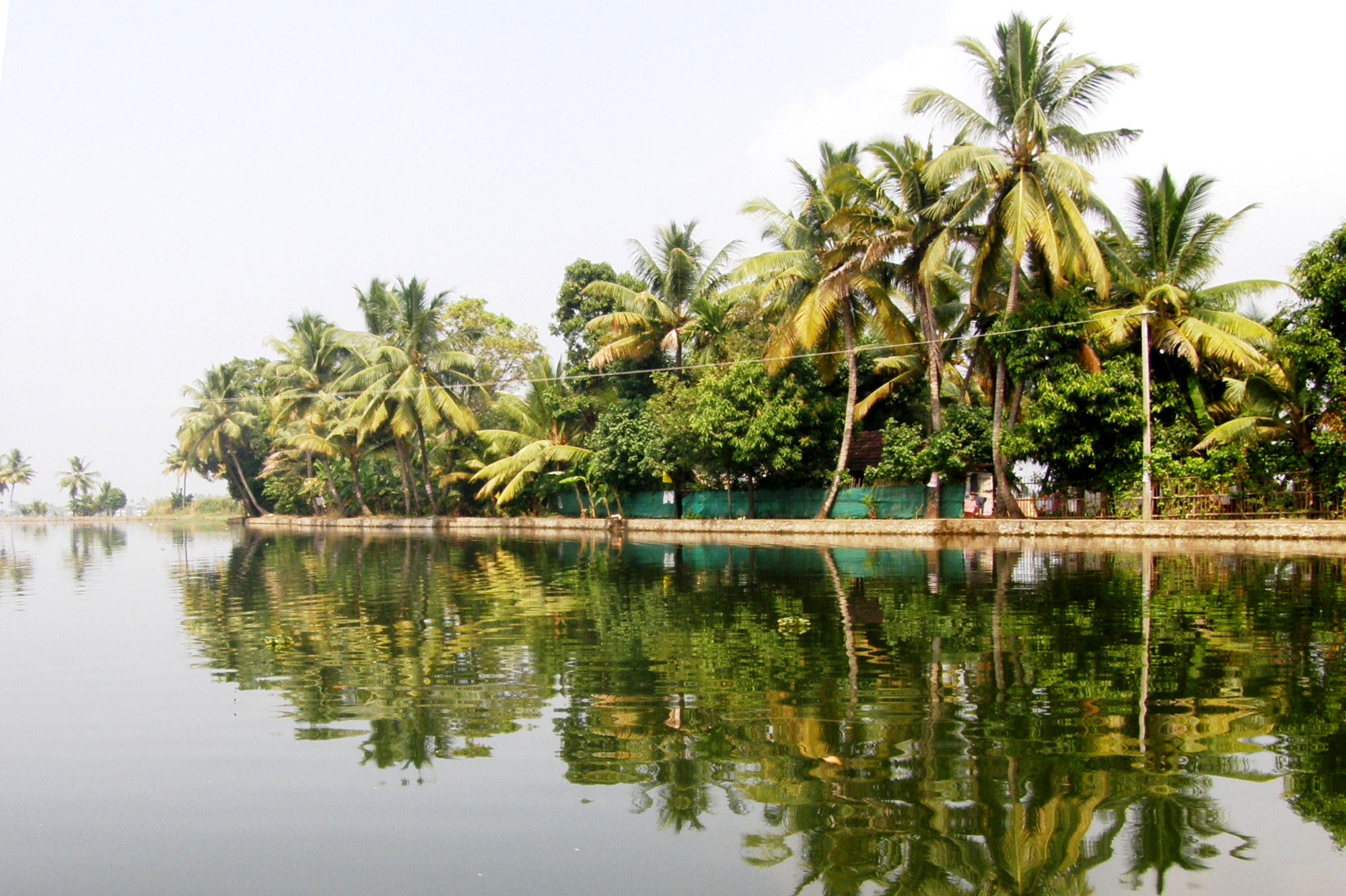
"Green Reflection of Lake Vembanad" by Balaji.B Photography is licensed under CC BY 2.0
Water is the most important natural resource on Earth but conversely, it can also pose a serious risk to human health. Over the last 20 years, over 3200 major floods have occurred across the globe and these often devastating events are predicted to increase with climate change.
Flooding events are not only a threat to life but can also displace entire populations, break down infrastructure and impede access to food, clean water, sanitation and medicine. Furthermore, flooding often leads to outbreaks of waterborne diseases, such as cholera and diarrheal diseases, so the ability to map flood pathways and identify potential disease risk ‘hotspots’ is of vital importance.
SAR is a satellite sensor onboard Sentinal-1, an imaging radar mission providing continuous all-weather, day-and-night imagery of the Earth. However the coverage frequency of Sentinel-1 in the Lake Vembanad region is relatively low, with a revisit time of 12 days. For rapid and effective mapping of floods, it is critical to consider the use of other satellite sensors to fill the gaps between consecutive Sentinel-1 overpasses.
With this in mind, a team from Plymouth Marine Laboratory working with partners in India studied the use of existing satellite image processing algorithms to help map flooded areas in the Lake Vembanad region at more regular intervals, using the spectral reflectances of the green, red and near-infrared bands from the Multi-Spectral Instrument (MSI) sensor onboard Sentinel-2.
Although the MSI sensor has no cloud-penetrating capability, the study showed that the Modified Normalised Difference Water Index (used to enhance open water features) and the Automated Water Extraction Index (used to differentiate between water and non-water areas) can be applied to generate flood maps from multi-spectral visible remote sensing observations, complementing the SAR-based techniques.
The study also showed that local knowledge of rice cultivation practices were invaluable to map the manoeuvring of water levels and exclude deliberately-flooded rice fields, to improve the accuracy of flood maps in the study region. A key lesson learned was that local information is vital for the interpretation of satellite data and for improving the usefulness of the products overall.
Dr Gemma Kulk, lead author of the paper and Phytoplankton Physiologist at PML, said:
“The Vembanad-Kol-Wetland system is in a highly populated area of India, with an estimated population of 3.4 million people relying on lake waters for their livelihood. Therefore, measures to control floods and to mitigate against their negative effects when they do occur, are of paramount importance.”
“The flood mapping addressed here has the potential to become part of a solution package based on multi-spectral visible remote sensing with capabilities to simultaneously monitor water quality and risk of human pathogens in the environment, providing additional important services during natural disasters and allowing the authorities to focus response where it is most needed”.
The satellite data used in this study are available free-of-cost under the Copernicus Programme of the European Union, and similar data are available from other agencies, which helps to reduce barriers for low and middle income countries in accessing such data.
Although this is a regional study, the flood mapping methods presented here have the potential to be applied to any number of locations with similar problems, with minor adjustments to local conditions where necessary.
This work was funded by the Natural Environmental Research Council, UK, and the Department of Science and Technology, India, under the India–UK water quality research programme project ‘REhabilitation of Vibrio Infested waters of VembanAd Lake: pollution and solution’ (REVIVAL; grant numbers NE/R003521/1 and DST/TM/INDO-UK/2K17/64 C & G) and by the European Space Agency project ‘Waterborne Infectious Diseases and Global Earth Observation in the Nearshore’ (WIDGEON). This work is a contribution to the activities of the National Centre of Earth Observation of the UK.
Related information
Full paper: Using Multi-Spectral Remote Sensing for Flood Mapping: A Case Study in Lake Vembanad, India