Story
Satellites powering global science
18 June 2020
A new study co-ordinated by PML highlights the accuracy of satellite observations of elevation over a range of water and ice surfaces, supporting crucial research into climate, sea level rise and water supply across the globe.
Observations of the Earth’s surface have been carried out by the European Space Agency, using Sentinel satellites in an ambitious 15-year plan supported by the EU's Copernicus programme. These observations are used across fields of research and application, including in climate science and weather forecasting.
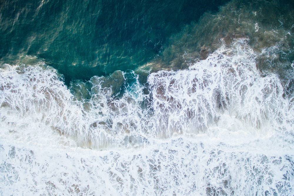
Two of these satellites, Sentinel-3A and Sentinel-3B, can monitor water bodies using radar altimeters, which measure the elevation of the Earth’s surface. This can be measured in such detail that sea level can be recorded to within a few centimetres from 800km above.
The major new paper, led by PML’s Dr Graham Quartly and Dr Francesco Nencioli, summarised validation of this altimeter data over all surfaces, brings together analysis over four years from the 25 contributors within the Sentinel-3 Mission Performance Centre.
This validation involved looking at every step of the altimetry process, from checking correct functioning of satellite instruments through to comparing the estimates with measurements from in situ observations, models and other altimeter observations.
This research has helped to build a homogenous dataset that can be used in climate studies and also for near-real time applications, such as weather forecasting, which uses both wind speed and wave height estimates.
Additionally, merging this long-term calibrated sea level and wave height data with those from previous missions will allow researchers to look at regional variations in sea level rise and the occurrence of extreme waves.
A significant aspect of this work was its inclusion of the Sentinel observations over not just the ocean, but also over ice and lakes.
Over sea ice and land ice, the performance can now match that of CryoSat-2, a dedicated ice mission, so can be used to monitor changes across Greenland and Antarctica, areas under threat from warming temperatures.
With both Sentinel-3A and Sentinel-3B flying in their different orbits, water surface height is now also recorded automatically at tens of thousands of inland locations. This enables hydrologists to monitor vital freshwater storage and water flow in countries lacking the necessary in situ instrumentation.
Dr Graham Quartly said "With the scheduled launch of further Sentinel-3 satellites over the next few years, Europe will be at the forefront of monitoring the signs of climate change over all water surfaces, both frozen and unfrozen".
Related information
'The Roles of the S3MPC: Monitoring, Validation and Evolution of Sentinel-3 Altimetry Observations' is published open access in Remote Sensing
This investigation was funded by the European Space Agency through the S3MPC project.